
Category: Carbon Neutrality
As the Project Management Unit for Carbon Neutral Rajapalayam, one of the primary responsibilities of Ramco Community Services is the preparation of Detailed Project Reports (DPRs) for a wide range of infrastructure and environmental initiatives. Every road alignment, water structure, green corridor, and restoration effort begins with one fundamental step – accurate surveying. Without precise data on the ground, even the best intentions cannot translate into effective action.
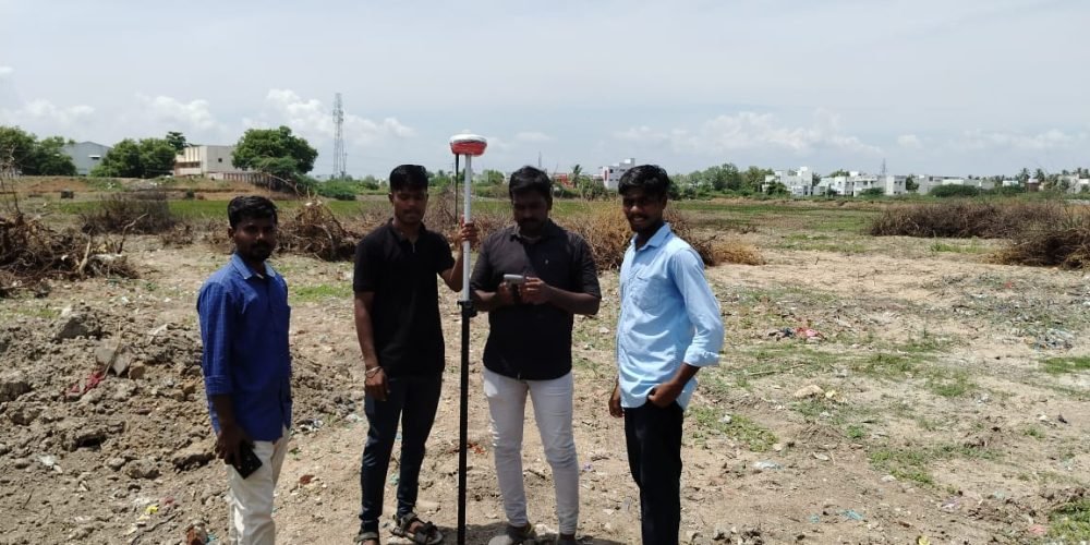
To ensure this accuracy, we rely on modern surveying technologies that go far beyond conventional methods. One such powerful tool in our field operations is the Differential Global Positioning System (DGPS).
Unlike standard GPS, which can have positional errors of several metres, DGPS is designed to correct these inaccuracies in real time. It works using two GPS receivers: a base station fixed at a known location and a rover receiver that moves across the survey area. The base station continuously monitors GPS errors and transmits correction signals to the rover, allowing field data to be recorded with exceptional precision.
The result is a dramatic improvement in accuracy. While normal GPS typically offers an accuracy of 5 to 10 metres, DGPS narrows this down to less than a metre, and with Real-Time Kinematic DGPS, even centimetre-level precision is achieved. This level of accuracy is crucial when planning infrastructure, designing drainage systems, mapping utilities, or assessing land for environmental interventions.
Beyond accuracy, DGPS also enables faster data collection over large areas, reducing time in the field while improving the reliability of outputs. This makes it ideally suited for complex projects such as road development, irrigation works, GIS mapping, mining surveys, and climate-responsive urban planning.