

Category: Underground Sewage System
With the city expanding rapidly and new residential areas emerging beyond the existing sewerage network, Rajapalayam Municipality and Ramco Community Services (RCS) have jointly identified around 60 locations for new machine holes to strengthen the Underground Sewage System (UGSS) and extend its reach to newly developed areas. The ultimate objective is to achieve 100 per cent UGSS coverage across the city.
UGSS is being implemented across all 42 wards of Rajapalayam, with RCS serving as the Project Management Unit and providing technical and managerial support to the Rajapalayam Municipality for the effective implementation of the project.
The recent exercise focused on identifying locations where additional machine holes could be provided along newly developed sewer lines, enabling sewage from these areas to drain effectively into the existing main sewer network.
Machine holes are important access points in an underground sewerage network and help connect and maintain different sections of the system. However, merely laying new sewer lines is not sufficient to ensure effective sewage flow. The level and gradient of the sewer lines have to be appropriately assessed so that sewage can flow from the new lines into the existing main sewer line through slope-induced gravity.
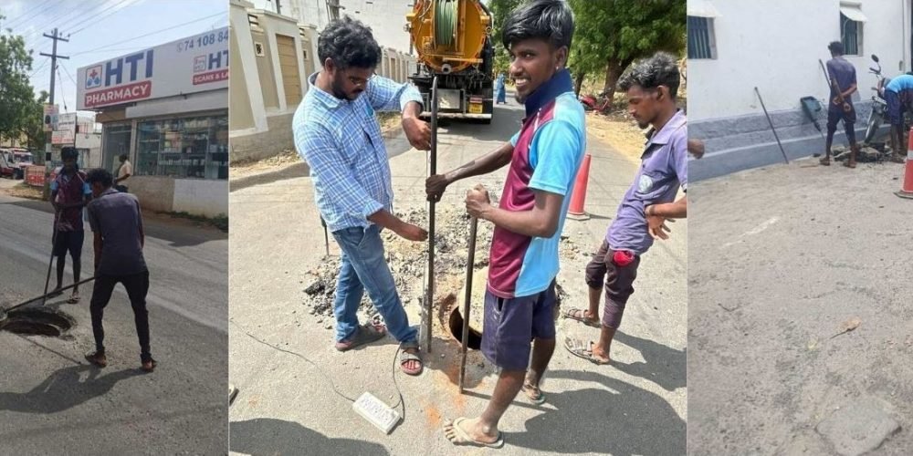
As part of the exercise, RCS and municipal engineers surveyed the newly developed areas and identified around 60 potential locations for new machine holes. The team also physically traced and opened existing machine holes, including those located along highway stretches, to check their levels and heights and assess the gradient and connectivity of the sewer network. This field verification helped determine whether sewage from the proposed new machine-hole locations could flow freely into the existing main sewer line.
The exercise drew on data from a recent ward-wise household survey conducted by RCS, which assessed the status of UGSS connections at individual households and helped identify areas where connections were functional or yet to be linked effectively to the network.
The GIS map maintained by the Rajapalayam Municipality, which contains details of the existing underground sewer lines, was also used to identify the locations of the existing network and assess how the proposed extensions could be integrated with it.